top of page

LRTK LiDAR
Revolutionary marker-free 3D measurement

Automatic coordinate assignment without markers
Eliminates cumbersome marker placement and achieves centimeter-level positional accuracy during scanning, drastically reducing on-site setup time

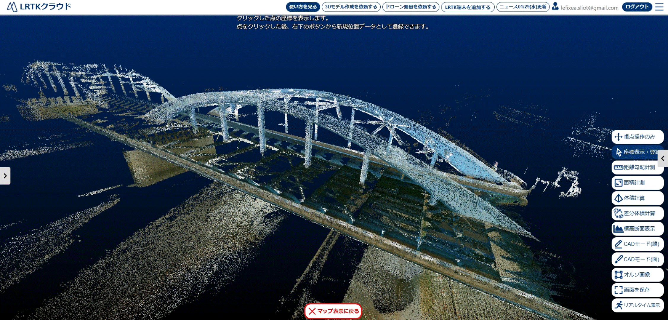
High-definition scanning of structures up to 200 m away
Accurately and rapidly acquire point-cloud data up to 200 m away by combining GNSS-RTK technology with high-resolution scanning—ideal for large-area surveys and complex sites


Review up to 15 million points on a smartphone
常に取得点群を確認しながらスキャンできます。
素人でも撮り漏れ0。成果物を現場で確認できる安心感があります。

Review up to 15 million points on a smartphone
LRTK LiDARは広大な土地を簡単に測量します。
ドローンの飛ばせない市街地でも問題なし。
どんな場面でもLRTK LiDARがあれば完結します。
LRTK LiDAR の詳細

bottom of page